
Nor’easter Weakens Across Tri-State Area, but Flooding Risk Remains Into Monday
New York — September 28, 2026
Nor’easter Weakens Across Tri-State Area, but Flooding Risk Remains Into Monday
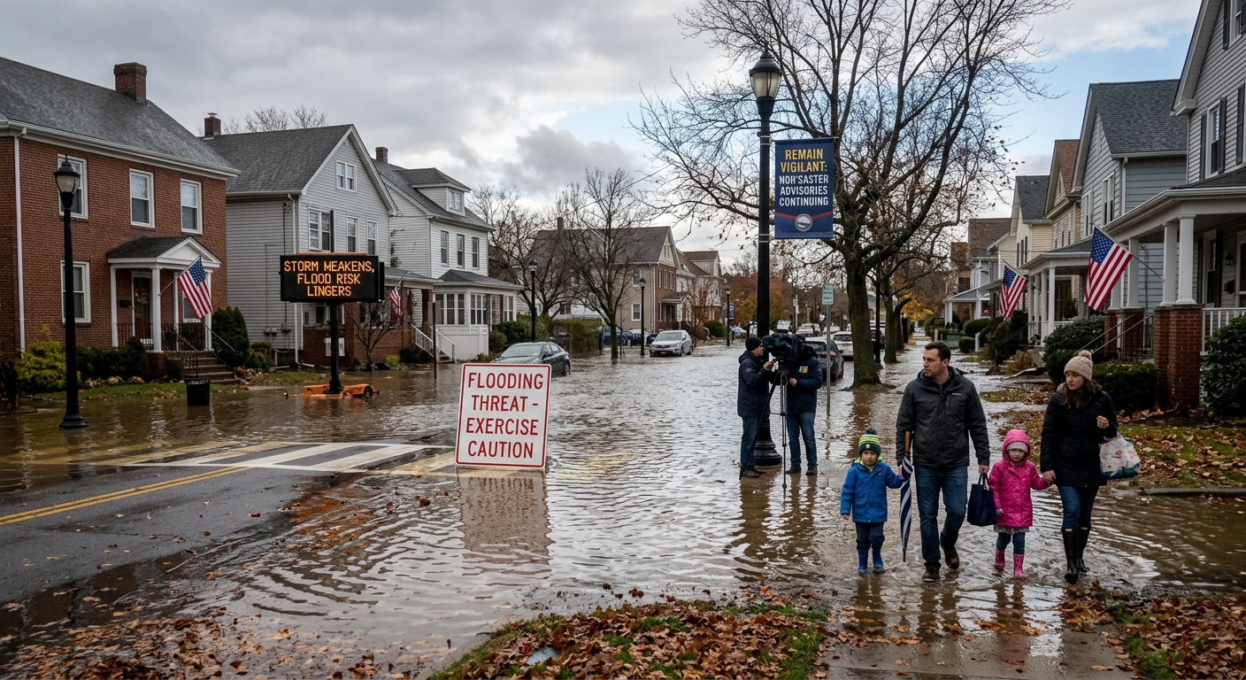
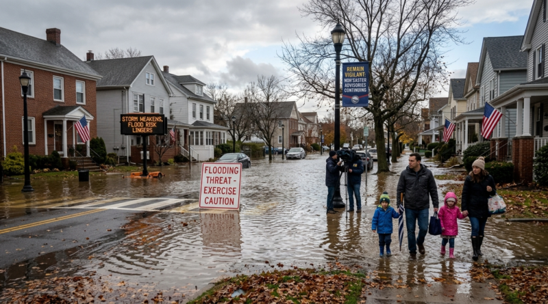
New York — September 28, 2026The powerful nor’easter that battered the New York, New Jersey and Connecticut region over the weekend is finally beginning to lose strength. But the storm is not completely finished with the Tri-State area.Rain, wet roads and coastal flooding concerns are expected to continue into Monday, especially in vulnerable shoreline communities and along Long Island’s South Shore.The storm brought heavy rain, strong winds and rough coastal conditions across the region.
Some coastal locations experienced wind gusts of 50 mph or more, while parts of Long Island saw gusts approaching 60 mph during the height of the storm.Flooding Remains the Main ConcernAs the strongest winds begin to ease, flooding has become one of the biggest remaining concerns.The National Weather Service has continued coastal flood advisories for several areas around New York City and Long Island.
In vulnerable shoreline locations, water levels could rise roughly 1 to 1.5 feet above ground level, with locally higher flooding possible.Long Island’s South Shore has been particularly vulnerable because of its low-lying coastal communities and exposure to Atlantic water.Communities including parts of Nassau and Suffolk counties have been closely watching high-tide cycles as water pushes toward roads, neighborhoods and waterfront properties.
Heavy Rain Adds to the ProblemThe storm has already produced substantial rainfall across the region.New York City’s Central Park recorded more than two inches of rain from the storm through Sunday, while parts of eastern Long Island received close to four inches. Additional rain could push storm totals even higher in some locations.
That matters because already-saturated ground has less ability to absorb additional rainfall.Low-lying streets, poor drainage areas and roads near waterways can therefore remain vulnerable even after the strongest winds have passed.South Shore Communities Stay AlertThe South Shore of Long Island saw some of the storm’s most noticeable coastal impacts.Flooding concerns were reported around communities including Lindenhurst, Copiague, Babylon, West Babylon, Freeport and Long Beach as high tide approached Sunday. Officials warned residents not to drive through flooded roads because water depth can be difficult to judge from inside a vehicle.The combination of heavy rain, strong winds and high tides created a difficult situation for emergency crews and residents.Power outages and downed trees were also reported during the storm, adding another layer of disruption.Winds Are Finally Coming DownThe good news is that the storm’s strongest winds are weakening.Earlier in the weekend, exposed coastal areas experienced gusts around 60 mph, with somewhat lower but still strong winds farther inland. The strongest conditions occurred around the peak of the storm and high-tide periods.As the nor’easter moves away, wind speeds should gradually decrease.However, weakened trees, saturated ground and remaining debris can still create hazards. Residents should be cautious around downed branches, power lines and damaged structures.Travel Could Still Be DifficultMonday’s weather may not have the same intensity as the weekend storm, but commuters should not assume that conditions are completely back to normal.Wet roads, standing water and reduced visibility can create dangerous driving conditions. Flooding can also temporarily close roads in coastal and low-lying communities.Drivers should avoid entering flooded roadways, particularly where water covers road markings or the depth cannot be seen.A Slow Return to NormalThe nor’easter is weakening, but the region will need time to recover.Emergency crews are continuing to deal with flooding, fallen trees, power problems and storm-related damage. Coastal residents should continue monitoring local advisories, particularly around high tide.The weather pattern is expected to gradually become calmer after the storm pulls away.For now, the message from officials remains straightforward: the worst of the storm may be passing, but the flooding threat has not completely disappeared.Residents in coastal and flood-prone areas should remain alert through Monday and follow local emergency instructions.Key TakeawaysIssue| Current SituationNor’easter| WeakeningHeavy rain| Continuing in parts of the regionCoastal flooding| Still a concern MondayLong Island South Shore| Higher-risk coastal areasStrong winds| Gradually decreasingRoads| Standing water and flooding possiblePower outages| Recovery efforts continuingTravel| Possible delays and disruptionsFor New York and the wider Tri-State region, Monday is expected to be a transition day — from a powerful coastal storm toward improving conditions, but with flooding and wet-weather hazards still requiring attention.
